Ann Arbor Corridor
Distance:5.6 mi
Trail Details
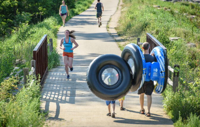
- 5.6 miles of paved, road-separated pathway for non-motorized use
- ADA Accessible
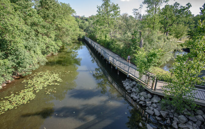
- Flat terrain that follows the river through town and park settings with access to two canoe/kayak liveries
- Major cross street references: North main at M-14, Broadway, Maiden Lane, Fuller Road, Huron Parkway, Dixboro Road
- Trail not maintained during the winter
- View Interactive Map Instructions
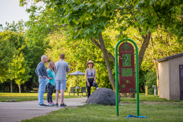
Suggested Activities
BikingBirdingCommutingFishingInline skatingPets on 6-foot leash allowedRunning/Walking
Amenities
Benches and Picnic TablesBike Repair StationBike StandPet Waste StationsRiver AccessTrash/RecyclingVault Toilet/Restrooms
Directions and Parking
Recommended parking for this trail segment can be found at the following locations:
Project construction/completion updates
Connecting Trails
Nearby Attractions
Additional Resources
Trail Access and Description
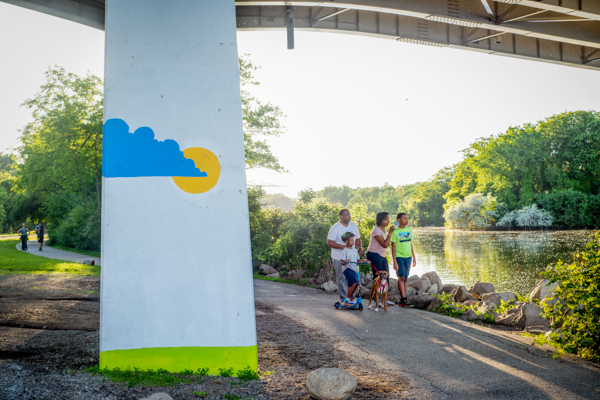
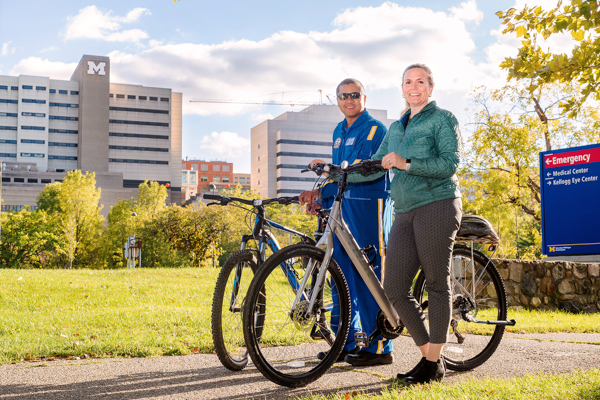
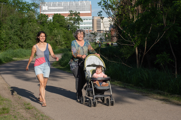
This scenic 5.6 mile segment of the B2B Trail travels along the Huron River as it passes through the City of Ann Arbor. Visitors will cross pedestrian bridges and meander through scenic parkways as they pass through some of Ann Arbor’s most popular recreational spaces.
This segment provides easy access to local dining, entertainment, and shopping options of both the Main Street and Kerrytown districts. For local commuters and students, the trail provides easy access to the University of Michigan, the VA of Ann Arbor Medical center and many businesses found within the city.
This trail is owned and maintained by the City of Ann Arbor.