Chelsea-Stockbridge Corridor
Trail Details
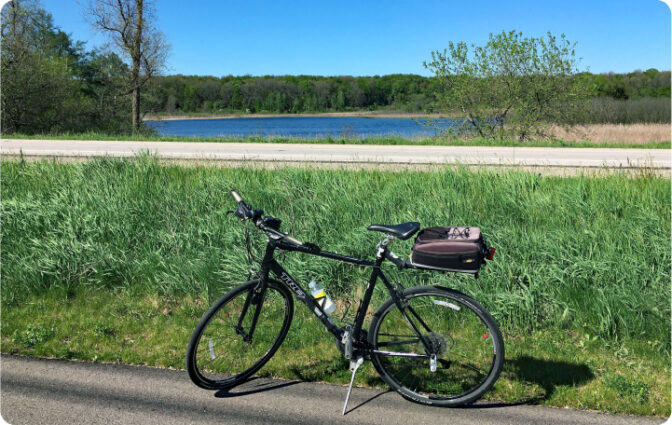
- 4.7 miles of paved, road-separated pathway for non-motorized use
- ADA Accessible
- Rolling topography, rural character, forests, wetlands, and lakes
- Consumers Energy contractors have started clearing trees for the 55-mile Mid Michigan Pipeline Project. More information here.
- Major cross street references: M-52 at Werkner Road and M-52 at North Territorial Road
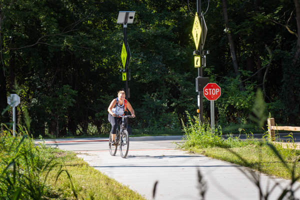
- Temporary on-road connection to the City of Chelsea south of Werkner Road (wide road shoulders)
- Trail not maintained during the winter
- Printable PDF map of the Chelsea-Stockbridge Corridor
- View Interactive Map Instructions
Suggested Activities
Amenities
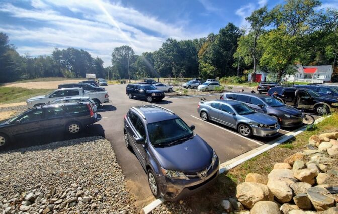
Directions and Parking
Recommended parking for this trail segment can be found at the following location:
- B2B Trailhead at Lyndon Township Hall on North Territorial Road, Chelsea – Michigan Recreation Passport is required to park your vehicle at this trailhead. There is a self- registration kiosk in the parking lot if you do not already have the designation on your vehicle. This is not required if you are entering on foot or bicycle.
Distance from the North Territorial Trailhead to
The DTE Trail crossing: 0.5 miles
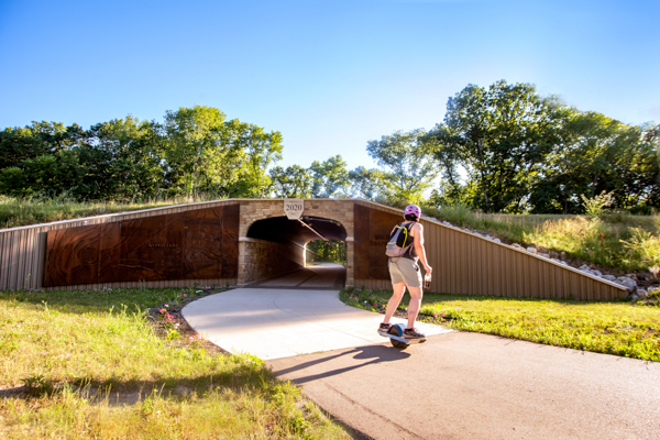
The pedestrian tunnel: 1.35 miles
Green Lake Campground Entrance: 2 miles
Waterloo Road: 3.7 miles
Werkner Road: 4.7 miles
Project construction/completion updates
Construction has begun on a new segment of trail along the east side of M-52 in Lyndon Township. This segment will add 1.6 miles beginning at M-52 and North Territorial extending to Boyce Road. This project includes grading, paving the trail, and tree planting and improvements to existing trail south of the trailhead near the DTE Trail connection.
Supported by the MEDC Chelsea Connection Campaign, Phase B of construction on this 1.1 mile segment is open between Werkner Road and Timbertown/Veteran’s Park.
There is a short unfinished gap that remains on the trail due to the pending replacement of the culvert under M-52, which is in poor condition. The culvert is located just North of the Staffan Mitchell funeral home.
Connecting Trails
Waterloo-Pinckney Trail – (No bicycles permitted)
DTE Energy Foundation Trail – (Shared use and frequently used by mountain bikes)
Nearby Attractions
Blind Lake Campground (Hike-in only)
Crooked Lake Campground (Rustic camping)
Green Lake Campground (Rustic camping)
Additional Resources
Trail Access and Description
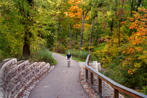
The completed trail within the Chelsea-Stockbridge Corridor is 4.7 miles of rolling, road-separated, non-motorized trail that roughly parallels M-52 between Werkner Road and North Territorial Road. Visitors will experience a rural landscape featuring lakeviews, woodlands, wetlands and glacial topography. This is the hilliest segment of the B2B Trail but it was designed with accessibility in mind and uses gentle slopes to traverse the post-glacial landscape.
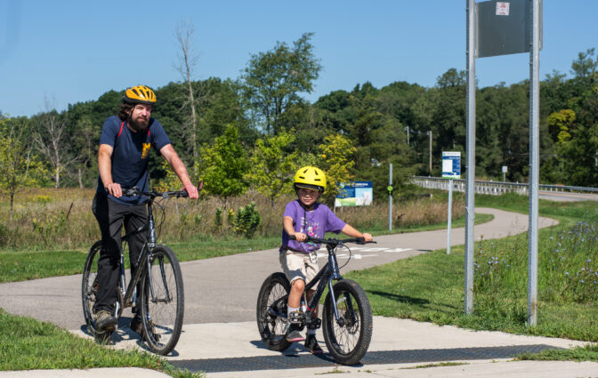
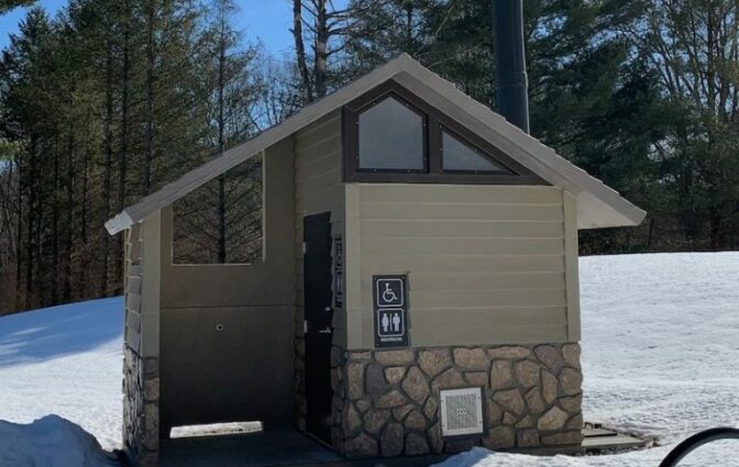
Near the northern end of the trail is the B2B Trailhead at Lyndon Township Hall, which features dedicated trail parking, water, a vaulted toilet, bike repair tools, picnicking, and more. Near the trailhead, the DNR offers two ADA accessible hunting/wildlife viewing blinds that can be reached via a short, gravel accessible path from the Lyndon Township Trailhead. For more information or to reserve the blinds, please call the Pinckney Recreation Area at 734-426-4913.
This trail is owned and maintained by the Washtenaw County Parks & Recreation Commission.