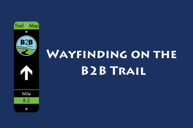
New B2B Trail Wayfinding System
To improve the usability of the trails for residents and visitors, WCPARC is developing a series of wayfinding signs and structures to be installed across the Border to Border Trail system. Trail visitors can expect to see some of these features on the trail this year with additional installations planned to roll out over the next couple of seasons.
Features of this wayfinding system include:
- Primary orientation nodes will be installed at large parking access points with supporting trail amenities where people will be encouraged to park as primary access points. These structures will help to encourage sitting/resting, viewing, and further exploring before heading out on the trail. Content that will go on the primary orientation nodes will include local and regional trail maps, emergency contact information and trail etiquette guides.
- Secondary nodes – Map stations placed at highly visible spots at small parking access points, local access points, and intersecting trails.
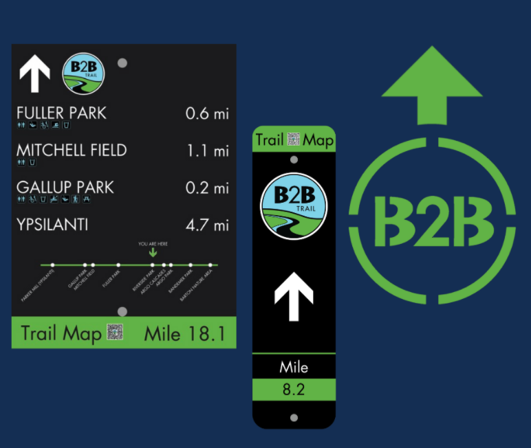
- Directional signage will include a linear trail map with mile markers and miles to the next major destination point with amenity notes.
- Blazes will be used frequently on free standing posts or attached to an existing post.
- Pavement markings will be used on the ground frequently where there is a turn or a choice to be made that could potentially cause users to leave the trail.