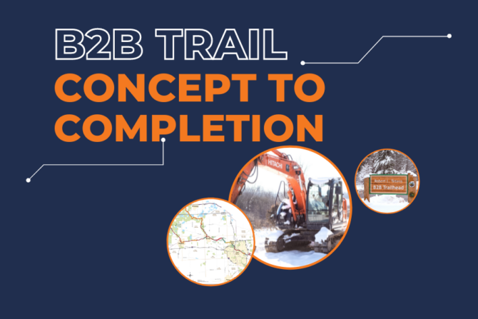
The B2B Trail – Concept to Completion Series
For the second installment of our “B2B Trail – Concept to Completion” series, we are focusing on the first major step in developing a segment of trail – project planning. Obviously, no other step in the process could happen without proper planning – making this stage one of the most critical in any trail project. And, like so many other aspects of this work, it requires strong collaboration amongst partners.
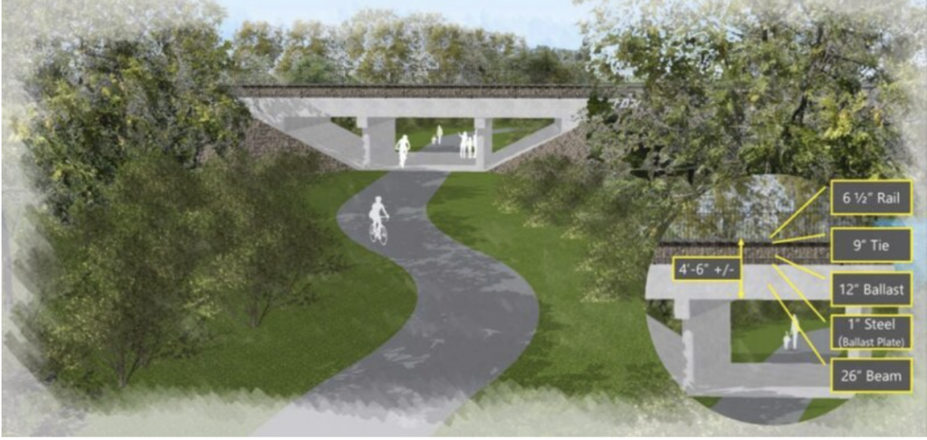
Bandemer-Barton tunnel pathway
The first collaboration point in B2B Trail project planning comes from reviewing existing trail plans from various levels and agencies, including the State Trails Plan, the Southeast Michigan Council of Governments SEMCOG/SEMI Trail Plan, the Washtenaw County Wide Trail Plan, and the plan for the larger corridor within which the segment will lie (Huron River Drive between Ann Arbor and Dexter would be one such corridor on the B2B Trail). These existing plans help to inform the overall project plan, and ensure that it aligns with a larger trail network.
Once plans are reviewed, we begin to define the corridor that the segment will lie along, creating a map with available data that will need to be taken into account when identifying the segment route (topography, wetlands, roads, rivers, historic information, etc.), and looking for constraints and opportunities that might be critical to the plan.
Next up comes walking the site. This is a critical step since it’s much easier to see natural details and potential problems on foot than through the windshields of a car. Information and photos from the site walk further inform the site map.
A key part of the process in developing any community trail like the B2B Trail is gathering information from stakeholders and the public. Stakeholders can include project partners, which, in the case of the B2B Trail could include groups such as the Huron Clinton Metropark Authority (HCMA), who contribute land, funding, and expertise to help construct the trail; the Huron River Watershed Council, who represent a broad cross-section of the environmental community and operate the nationally designated Huron River Water Trail; and the Washtenaw County Recreation Commission (WCRC) who often provide guidance on how to promote safety when interacting with roadways and vehicular traffic. Similarly, public input is most impactful early on in the process, helping to identify route options, ideas, constraints, and providing an opportunity to learn from people who live near or frequent the proposed project site.
Once all of this information is gathered, various options are outlined on a map before landing on a “preferred option” that eventually becomes the basis for design engineering – the next major phase in the lengthy but rewarding process of trail development.